Welcome to Snelgrove Survey Limited
Services we provide:
Exploring new horizons and uncovering hidden potentials is what drives us at Snelgrove Survey Limited. Our services cater to businesses specializing in setting out and drone surveys, with a UK focus. Our target audience includes architects, contractors, sub-contractors, and developers, all seeking precision and excellence in their projects. Let us be your guiding compass towards success.
Partner with us and witness how meticulous surveying can transform your vision into reality. Your projects deserve the utmost attention to detail, and that's exactly what we provide. Join the ranks of satisfied clients who trust Snelgrove Survey Limited for all their surveying needs.

Welcome to Snelgrove Survey Limited
Roof Surveys (High-Resolution Still Images)
Capture detailed aerial images of your roof for inspections, property assessments, or maintenance purposes. Our service includes 5 high-resolution images.
Discover our Intermediate Service
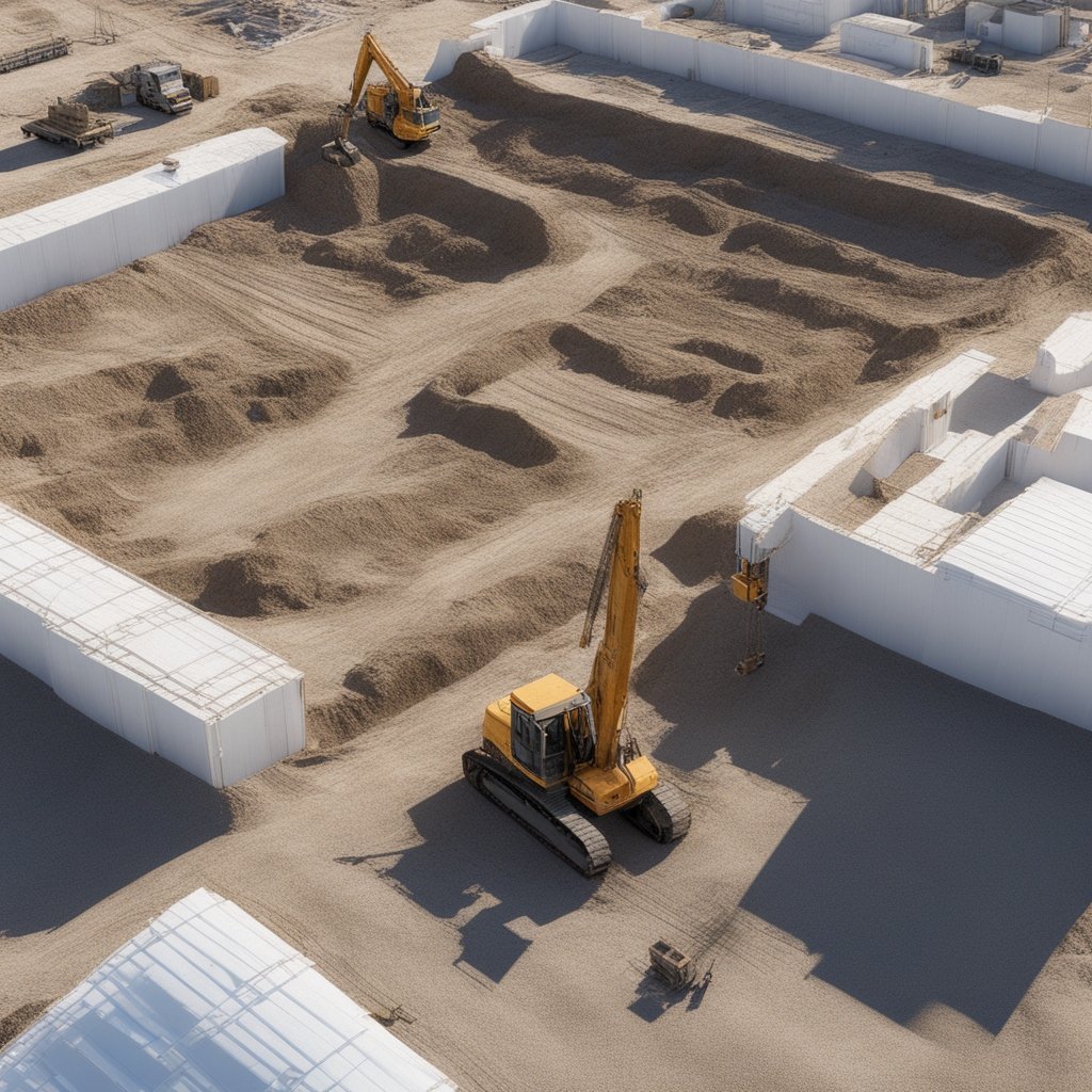
Photogrammetry (3D Model Creation)
Our photogrammetry service provides a detailed 3D model of structures and properties, perfect for building projects or architectural planning.
Experience the Advanced Service
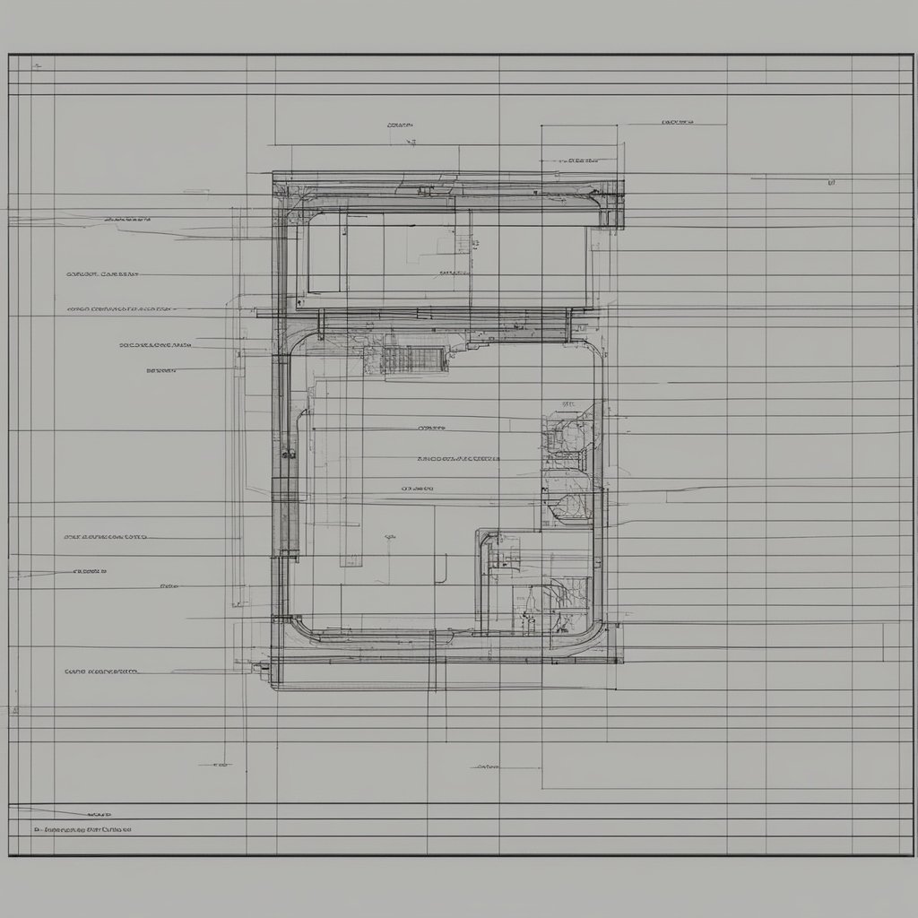
Photogrammetry with CAD Conversion
Get both 3D models and CAD-compatible files for architectural and construction planning. Ideal for both small and large sites.
Welcome to Snelgrove Survey Limited
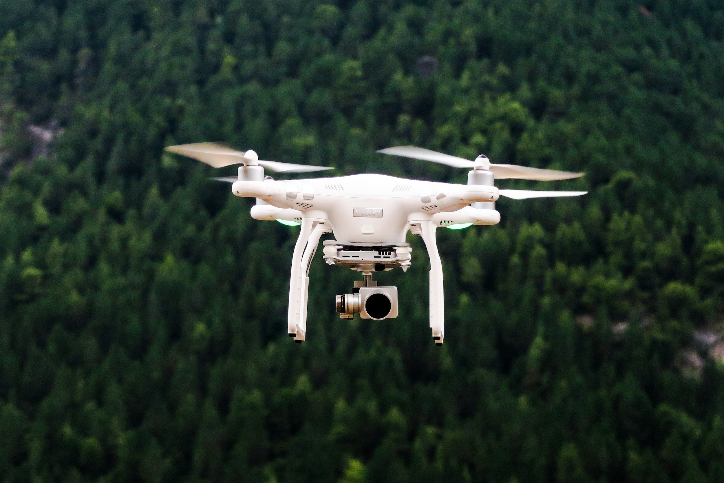
Drone Hire and Pilot Services
Need an experienced drone pilot and equipment? We offer flexible hire options to support your projects.

Discover our Intermediate Service
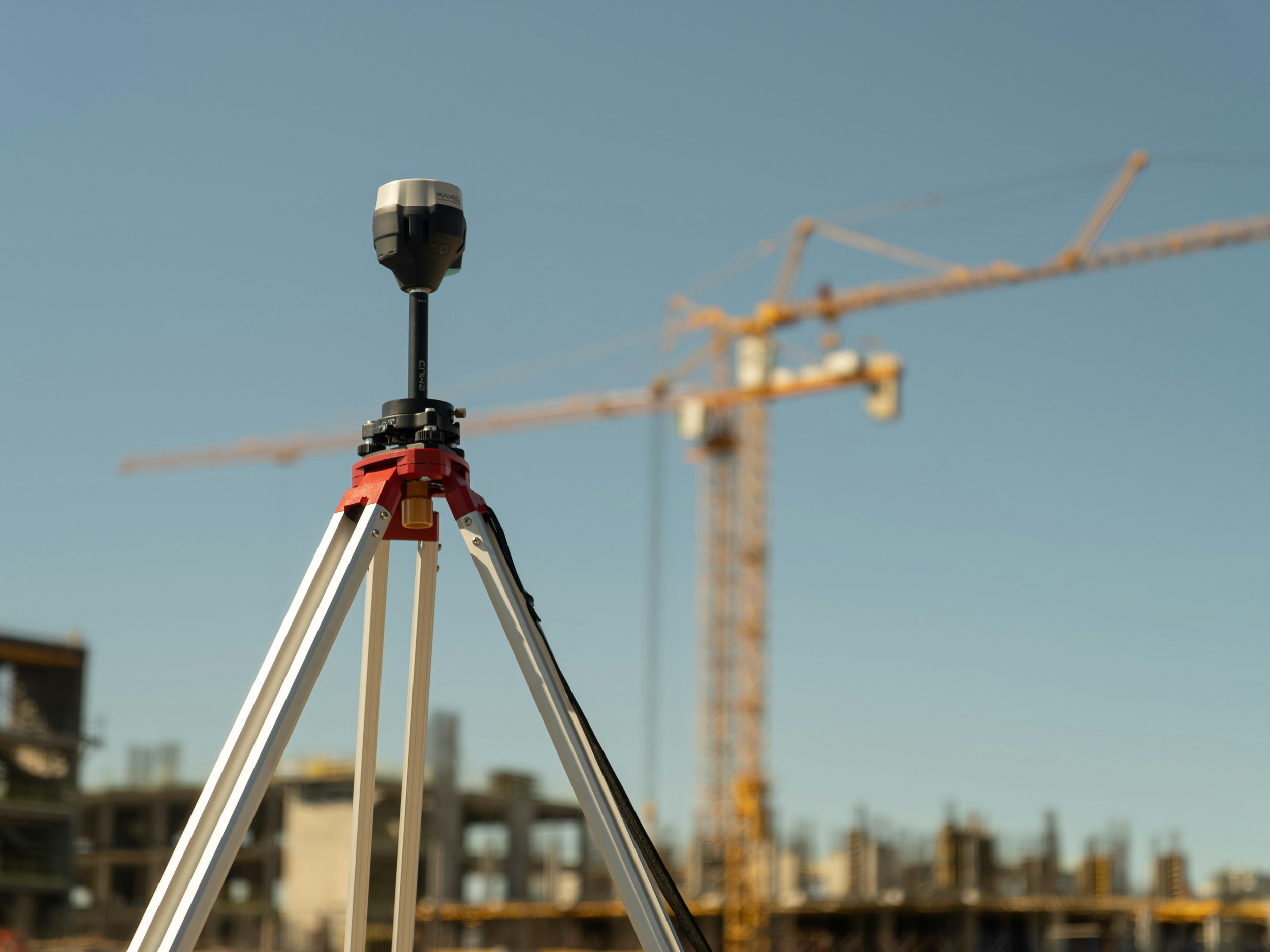
RTK Drone Land Survey
Achieve high-accuracy land surveys to OSGB standards, perfect for topographical assessments and land planning.

Experience the Advanced Service
Commercial Building and Warehouse Surveys
Get accurate aerial assessments of commercial properties and warehouses for inspections or project planning.